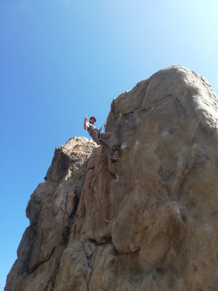
Hi, I am Zach Tunstall
Geospatial Developer Portfolio

I'm a GIS and web developer from North Carolina, USA. My interests are in using computer aided drawings and software to model environmental phenomena. I'm skilled in making spatial data visualizations, perform remote sensing tasks, web server development and deployment, as well as creating custom GIS tools. My coding skillset includes a little of both front-end and back-end development with practical experience using Python, JS, HTML, CSS, R, and SQL.
My passion is in using GIS tools to better understand phenomena surrounding anthropogenic climate change and making communities better adapt to and become resilient to climate related catastrophes.
Geospatial Modeling, Spatial Statistics, Remote Sensing, and Open Source GIS projects.
Program Relefection
The coursework, professors, projects, and fellow students have all given me a warm learning environment, unique challenges to projects, and solid foundation for developing analytical skills.
My first GIS role with a major company has shown me that all of the platforms and programs used in the MGIST program are on the forefront of
what GIS departments are doing in the proffesional world. I see myself as a valuable asset in my current role and to my team.
This program has taught me so many things outside of GIS coursework. I have been introduced to so many new concepts in computer science, programming, database management, and graphic design. Without the MGIST program, I would have not have had the resources to grasp and fully understand these concepts. I feel that this program has given me valuable skills that I will contiue to devlop throughout my career in GIS

